taking Drone Solutions to new heights
Inspections.
FAA Licensed
Videography.
Photography.
Mapping.
Inspections. FAA Licensed Videography. Photography. Mapping.
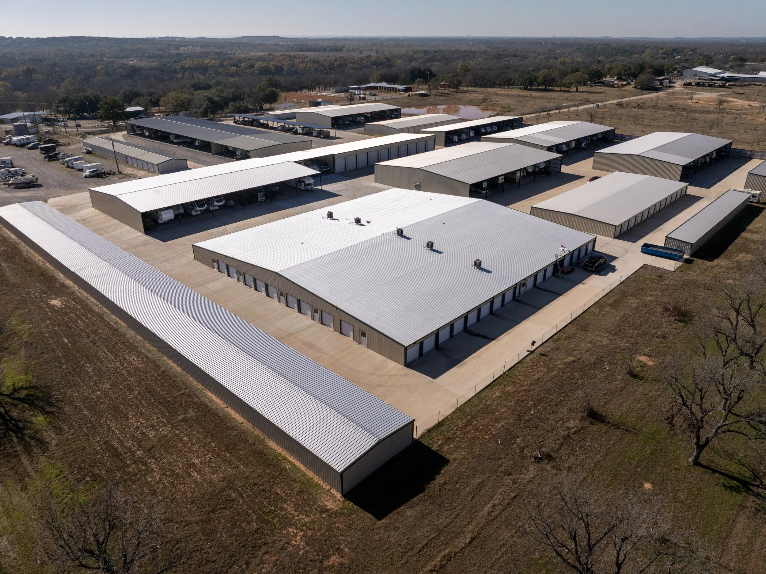
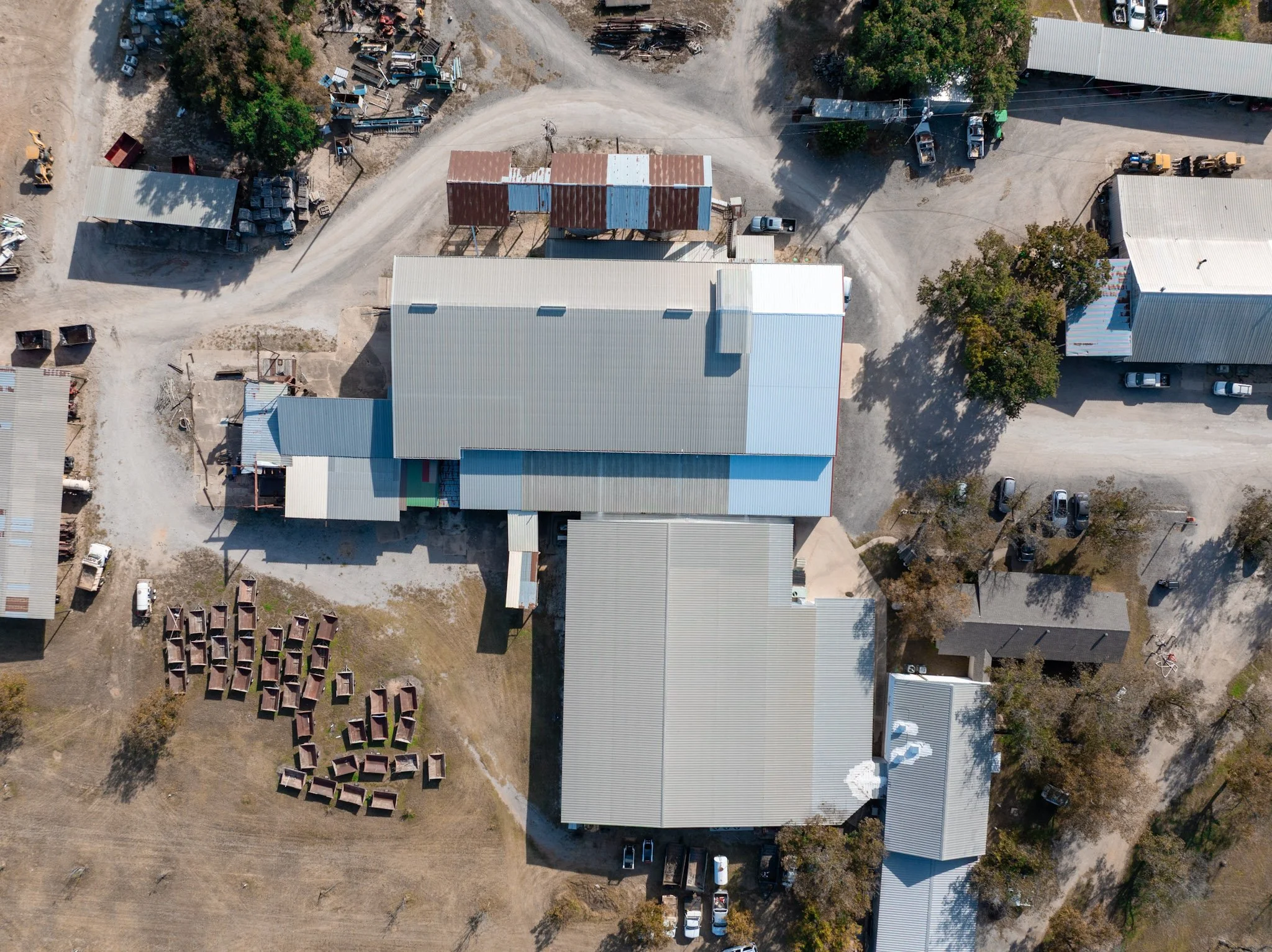
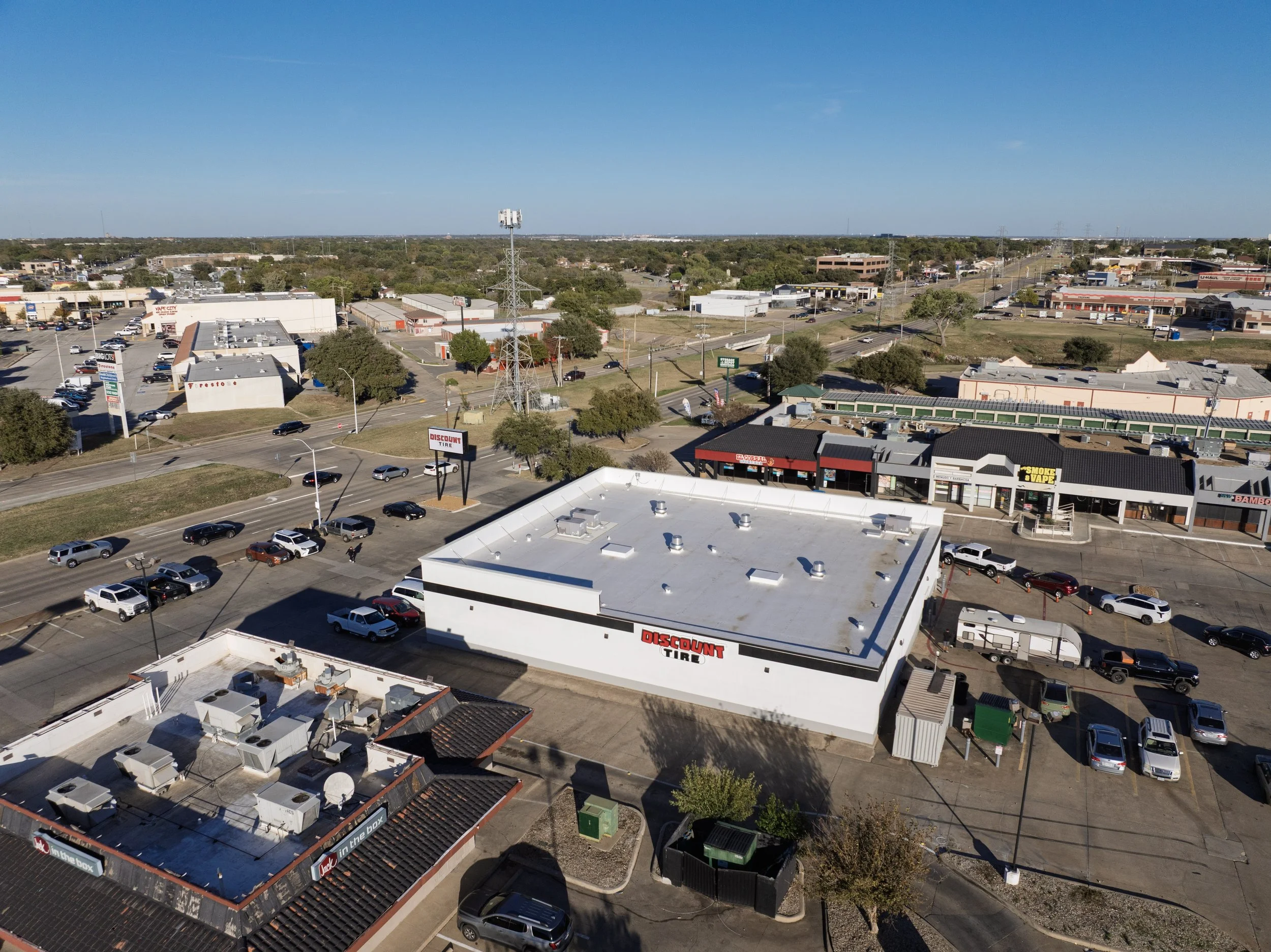
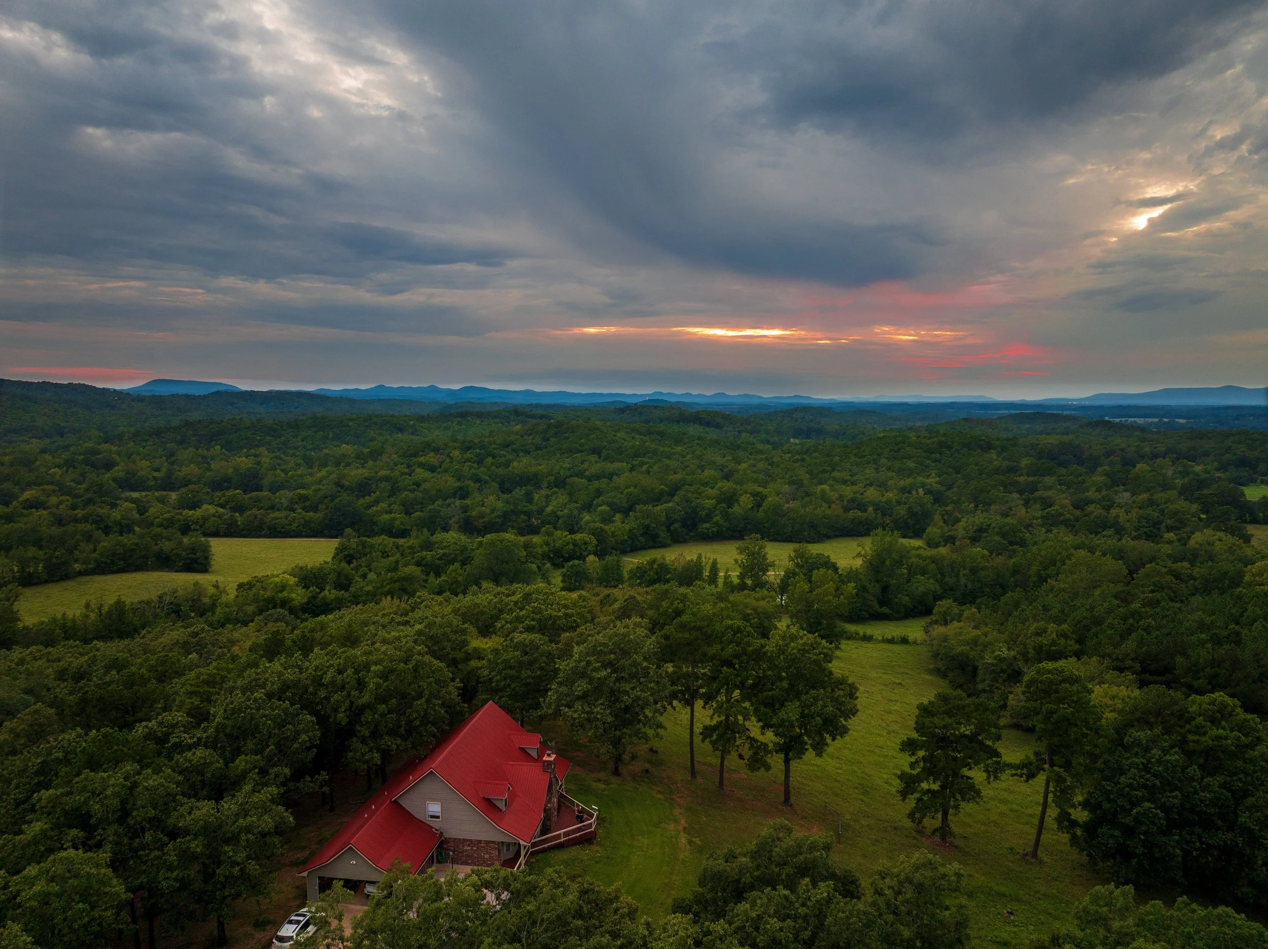
Drone Star Services converts complex aerial tasks into cost‑effective solutions. Drones deliver high‑resolution inspections, accurate mapping, cinematic videography, and fast site assessments—providing clear data and actionable insights faster and safer than traditional methods
Our Services
Includes five professionally edited videos, delivered in any format required. Each video will be optimized for your intended platform and file specifications and can be supplied as MP4, MOV, ProRes, or other industry-standard formats. Delivery options include web-ready files, broadcast-quality masters, and social-media-ready versions with platform-specific formatting.
Includes a comprehensive photo album of up to 30 high-resolution images documenting your job site, building, or property. Images will capture key features, conditions, and areas of interest to support project evaluation, reporting, and record-keeping. Photos will be organized and delivered in a clear, labeled format for easy review and reference.
We provide a comprehensive, exportable inspection report tailored specifically for commercial construction firms, insurance claims adjusters, and businesses that own or manage land and building assets. The report is designed for clarity, thoroughness, and easy distribution across stakeholders.
Contact Us
Interested in working together? Fill out some info and we will be in touch shortly. We can’t wait to hear from you!